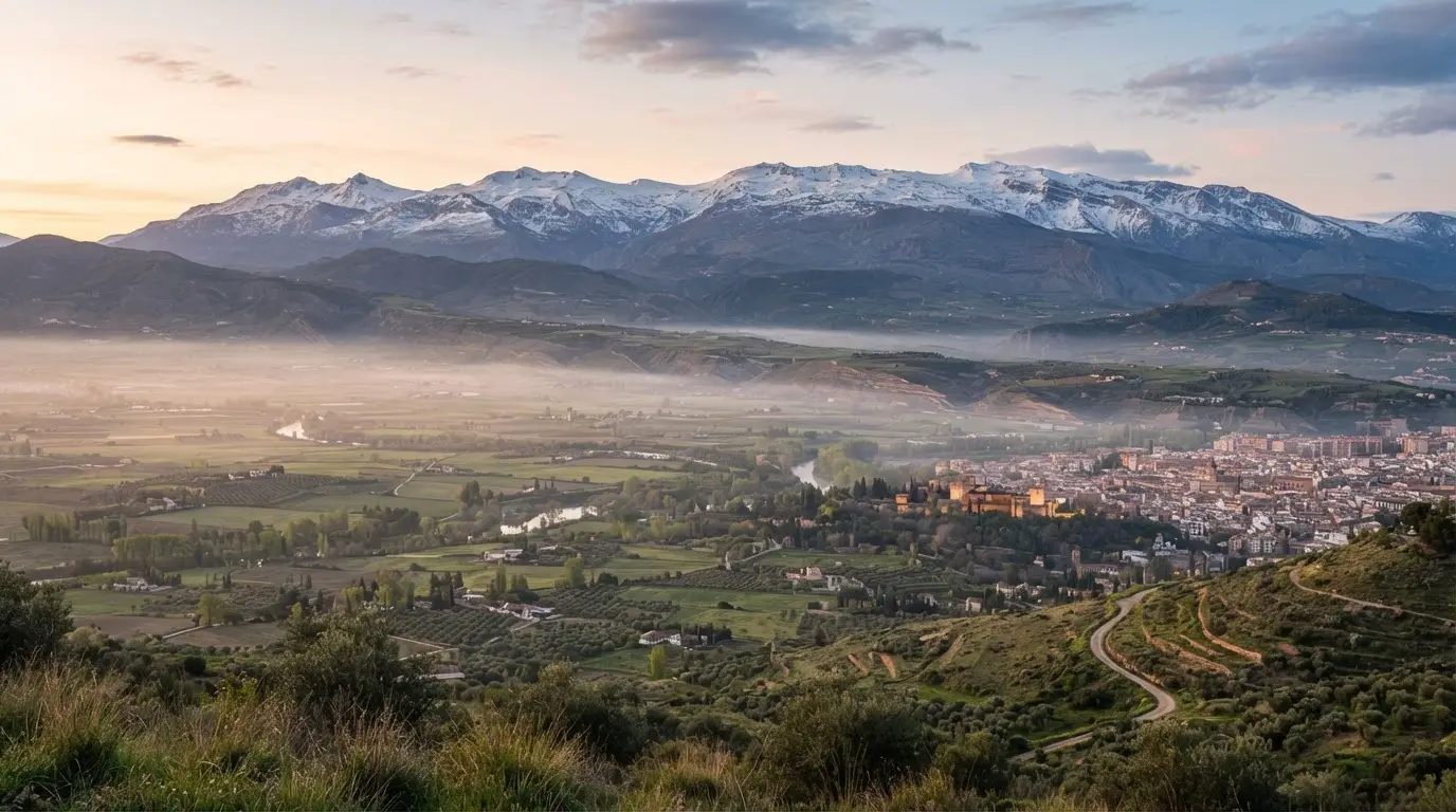

Two Mw 4.8 shocks, four days apart
The first Mw 4.8 struck at 23:04 UTC on 14 August 2026, which is 01:04 local time on 15 August. The second followed at 08:37 UTC on 18 August, or 10:37 local.[4] The Instituto Geográfico Nacional (IGN), Spain's seismic network, calls the episode a serie sísmica. "Series" is the safer English word here; "swarm" circulates in headlines for the same thing.
On 18 August the largest aftershocks, Mw 3.9, 4.2 and 4.0, arrived between 15 minutes and two hours after the second 4.8.[5]
By the IGN note updated on 7 September, the series stood at 1,693 events, 12 of them M3 or above and all shallower than 10 km. Only 150 had been felt by people.[1] Both main shocks were felt in more than 500 localities, as far as Murcia and the Madrid region.[6] Damage stayed modest: the IGN reports non-structural harm and falling objects around the epicentral zone.[7]
Why this basin keeps pulling apart
Start with the plate boundary. Africa and Eurasia are converging obliquely, north-west to south-east, yet the IGN describes the central Betic range as dominated by stretching in an ENE-WSW direction.[12] The Betics include the Sierra Nevada and the Corral del Veleta glacier. A University of Granada seismology paper puts the region's activity down to the collision of the two continents.[13]
The result under the Vega is a basin bounded by normal faults, the kind where one block drops against the other. The IGN calls it one of the most active and hazardous seismic zones of the Iberian Peninsula.[14] It places the 2026 series between the Dílar fault to the south, the Granada fault to the east, and the Belicena-Alhendín and Santa Fe faults to the west, all high-angle normal faults.[15] Each runs roughly 8 to 17 km.[16] They are short faults, but they sit under a plain that Granada's suburbs now cover.
Explore nearby · Monument
Carmen de los Mártires
Seven-hectare Romantic estate on the Alhambra hill with free entry, roaming peacocks, five garden styles, and a Poets Route with verses by García Lorca.
Christmas night 1884: the benchmark
At 21:08 on 25 December 1884 a quake catalogued at Mw 6.7, intensity IX-X, struck with its epicentre at Arenas del Rey.[2] It goes by several names: the Andalusian, Alhama de Granada or Arenas del Rey earthquake. The labels matter because the worst destruction lay in the Alhama, Arenas del Rey and Ventas de Zafarraya country, not in Granada city. Magnitude is not settled either; a University of Granada account cites estimates from 6.1 up to 7.0.[19]
The toll is also a range. The UGR summary counts more than 1,200 dead and about 1,500 injured across the whole earthquake, with some 4,400 houses totally destroyed.[20] The town-level counts for Alhama de Granada, the worst-hit place, disagree with each other: El Defensor de Granada gave 463 dead and 473 injured, while the Spanish and Italian commissions gave 307 and 330 dead and 502 injured.[21] Treat any single death toll as an estimate, and check whether it covers the whole quake or one town.
| Source | Area counted | Dead | Injured |
|---|---|---|---|
| UGR summary | Whole earthquake | More than 1,200 | About 1,500 |
| El Defensor de Granada | Alhama de Granada town | 463 | 473 |
| Spanish and Italian commissions | Alhama de Granada town | 307 and 330 | 502 |
Damage reached 106 towns, 39 of them very severely. Arenas del Rey and Ventas de Zafarraya were completely destroyed and had to be rebuilt.[22] The UGR account credits the Christmas-night timing, with many people out in the street, for holding casualties down.[23] Perceived shaking mostly lasted 15 to 20 seconds.[24]
For Andalusia, 1884 remains the landmark: a paper in Acta Geologica Hispanica calls it the last strong earthquake to cause major casualties in the region.[25] The IGN's own list of destructive events near Granada pairs it with a quake south of the city in 1431 at intensity VIII-IX, which makes 1884 the higher-intensity of the two on IGN's list.[26]
What the rebuilding shows, and what the record leaves out
The government opened a National Subscription that reached 6,524,492.5 pesetas, which became the financial base for rebuilding the destroyed villages.[27] The new sites were meant to sit on stable, gently sloping ground, under 5 per cent.[28]
The commissions had noticed why. Their reports stress that houses on limestone or old crystalline rock took less damage.[29] Which ground a house stands on mattered as much as how it was built.
King Alfonso XII began his tour of the stricken area on 10 January 1885, setting out from Loja and Granada.[30]
The UGR study covers the villages. It does not say how Granada city or the Alhambra fared in 1884, and no source used here does either, so this article makes no claim about it. Nor has the response of Spanish building rules after 1884 been traced.
Should visitors worry?
Not enough to cancel a trip, going by what is documented. The 2026 damage was non-structural, officials spoke of no imminent danger, and the strongest shocks were Mw 4.8. Nobody can promise the series is over.
The honest framing is hazard, not alarm. The UGR paper calls Andalusia the most hazardous seismic zone under Spain's NCSE-2002 building code.[31] Many churches and museums closed on 19 August as a precaution; if a site you planned is shut, check its status first, and read up in the meantime on something like Granada Cathedral's Renaissance architecture.
Deep dive · Article
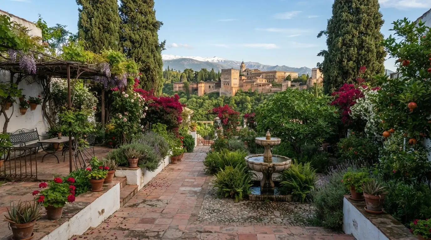
Cármenes of the Albaicín: Granada's Walled Garden Houses
Granada's cármenes are walled garden villas from Arabic karm (vineyard). Found across the Albaicín since the Nasrid period, two are open free to visitors.
The IGN publishes a page titled Qué hacer en caso de terremoto, with the caveat that its suggestions raise preparedness but do not guarantee anyone's safety.[32] The 2026 series is the small end of a range whose far end the village ruins of 1884 recorded.