What the Mulhacén name actually says
The peak is named after Abu'l-Hasan Ali, known in Spanish as Muley Hacén, the penultimate Muslim ruler of Granada in the 15th century.[1] "Muley Hacén" is a Castilian rendering of the Arabic title and name Mulay Hasan, and Mulhacén is that phrase worn smooth by centuries of Spanish mouths.[2]
The Arabic name never went away. It is still known in present-day Arabic as Jabal Mawla el-Hassan, the mountain of Mawla el-Hassan.[3] That Arabic name also carries the sultan's name, so the link between man and mountain is not only a Castilian one.
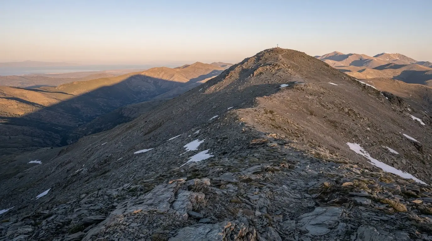
The mountain itself is easy to place. At 3,479 m it is the highest point in peninsular Spain.[4]
The sultan behind the name
Muley Hacén ruled from 1464 to 1485, with a short interruption in 1482-1483.[5] His reign is remembered for the family quarrel that cost Granada its unity. That story belongs to the Nasrid civil war, and it is not retold here.
What the legend needs is smaller. Late in life he favoured Zoraya, a Christian captive born Isabel de Solís who took a new name on converting to Islam.[6] Court rivalry followed. He left the throne in 1485, moving between Illora, Almuñécar and Mondújar, and died that year; one Spanish biographical dictionary gives Mondújar as the place.[7]
Things to do · Activity
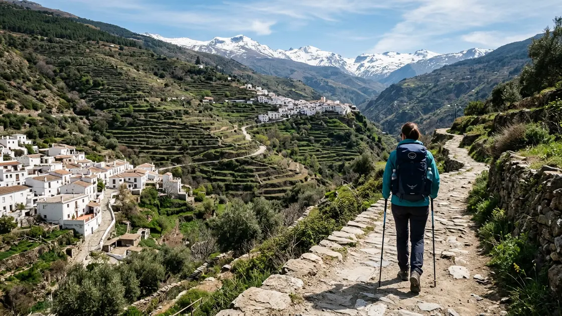
Alpujarras Hiking and Trekking Day Trip
Guided day hike through the Poqueira gorge linking Pampaneira, Bubión and Capileira on ancient Moorish paths. From €45 per person. Spring and autumn are ideal.
Whatever the exact spot, the point that matters is clear: it was an ageing ruler retreating through lowland towns, not a king carried up a high mountain ridge.
The burial legend against the documents
The usual telling says the sultan was laid to rest on the summit, and the mountain took his name from that tomb. A Spanish biographical dictionary calls this a dubious legend.[8] I could not trace the earliest written version of the story, and anyone who hands you a precise date for it is guessing.
The documented trail of Nasrid burials points elsewhere. When Granada fell, Boabdil dug up his forebears and carried them off to a burial ground his wife owned at Mondújar, below a castle that Muley Hacén himself had commissioned.[9] The royal dead went to a lowland plot, not a mountain top.
The reburial also left a paper trail. References preserved well into the 16th century name Mondújar as the place where the Nasrid remains were reburied.[10] The page does not list Muley Hacén by name among them, so that is the limit of what can be said.
The ending is anticlimactic. Excavations for a motorway at Mondújar in 1998-99 found no evidence of the transferred remains, and no remains of the old Nasrid dynasty have been preserved.[11] Nobody has found his tomb, on the summit or anywhere else.
Before Mulhacén: older names for the range
Mulhacén's own earlier name is not recorded in anything I could verify. What survives is naming for the whole massif. Spanish Wikipedia's article on the range says medieval Islamic authors called it Yabal Sulayr, the mountain of the Sun or of the Air, Yabal-al-Tay, the mountain of the Snow, or simply Sulayr.[12]
The same entry says Pliny the Elder mentioned a mons Solarius in the 1st century AD, on the border between the Roman provinces of Baetica and Tarraconensis.[13] That is the range and its surrounding hills, not a single summit. Treat the older names as the mountains' family history, with Muley Hacén as a late addition on top.
The summit's first documented ascent is much later. The earliest one on record dates to 1804, by the botanist Simón de Rojas Clemente.[14] That is a long gap after the sultan's death in 1485, and a reminder of how little written trace the mountain left.
Deep dive · Article
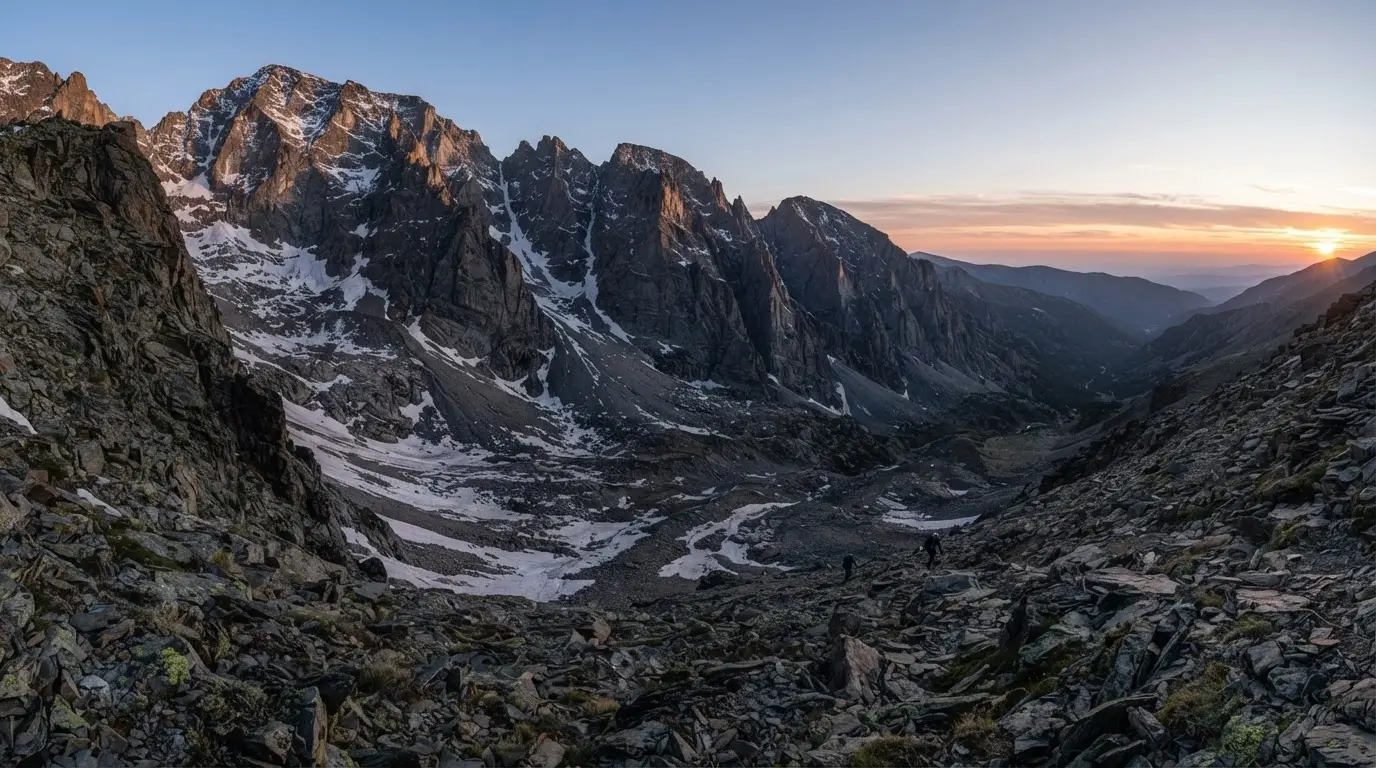
Corral del Veleta Glacier: Europe's Southernmost Ice
Corral del Veleta held Europe's southernmost glacier — active until 1913 at 37°N. Relict ice and permafrost still cling on in Sierra Nevada, shrinking fast.
If that sort of mountain lore appeals, the Corral del Veleta glacier on the neighbouring peak is the other Sierra Nevada story worth reading before you go.
Climbing the mountain behind the myth
Mulhacén can be walked in a single day from Capileira or Trevélez, but it is a big day: both routes climb more than 2,000 m.[15] Most people split it, sleeping at the Poqueira refuge or at a bivouac below the summit.
The usual approach is from the south. The old Granada-Alpujarra road that once crossed the range is closed to private traffic, and a barrier controlling vehicle entry to the national park stands at the Hoya del Portillo recreation area, at 2,150 m.[16][17] From Hoya del Portillo the walk to the Poqueira refuge at 2,500 m is 8 km and about 3 hours.[16]
Do not expect a car park at the top
A control barrier closes the old road to private vehicles at Hoya del Portillo (2,150 m).[17] Plan to walk or book the park minibus.
Summer is the season for it. Snow is absent from the standard routes then, although patches always linger.[18] The park service also runs guided minibuses from Capileira, which sits at 1,432 m.[19] From the Cascajar stop at 2,574 m the park leaflet gives 2.30 hours and 7.3 km to the summit.[20] Check the current timetable, fares and booking rules with the park office, because the leaflet I used dates from 2020.
Above the treeline the species most associated with the park's high summits is the ibex.[21] For the ski side of the range, which has its own history, see Sierra Nevada ski resort history.