
Why Granada wanted a straight street through its medina
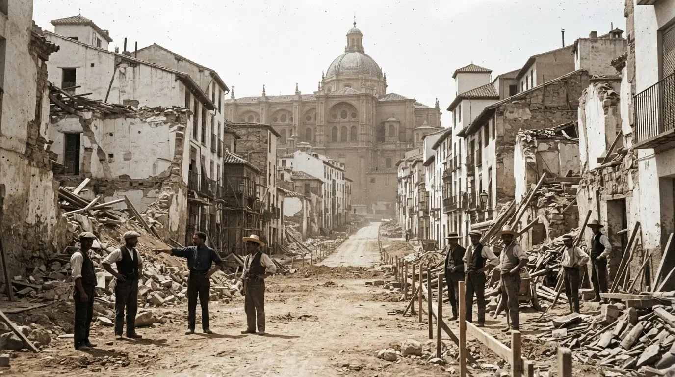
By 1890 the centre of Granada was still a knot of lanes inherited from the Nasrid city, and the local Chamber of Commerce had decided it was bad for business. In November it proposed a wide, straight road. The Chamber's own letter asked for about 700 metres, the book's presentation summarises the proposal as 840 metres long,[1] and the street as cut measured about 820. A publicly held company, La Reformadora Granadina, was founded to carry the operation out.[2]
The man who drew it was the municipal architect, Modesto Cendoya y Busquets, hired in 1890 for what the documents call the Proyecto de la Calle de Colón.[3] Spanish planners called this kind of scheme a reforma interior: surgery on a city that already existed. The model was Paris, and the sales pitch was the same.
The official arguments were hygiene and trade. Promoters pointed to a mortality rate said to be twice London's.[4] A modern street, they argued, would let air, carts and commerce through quarters that had none of the three.
The Darro had already been vaulted over by then, and the ground was in some sense prepared. That earlier story belongs to the Darro river history, and this piece does not retell it.
The route, the silver pickaxe and the numbers
The Chamber's wording of the route is the most precise description we have. The street was to start at Méndez Núñez, opposite La Sierpe, and run "cutting the Zacatín, Mesa Redonda and calle de la Cárcel" before heading for the Triunfo.[5] The Zacatín is the first street the cut crossed.
The line was not random. It slips between the convents of Ángel Custodio and Santa Paula and passes the back façade of the Granada Cathedral.[6]
On 25 August 1895 the city's archbishop opened the works with a silver pickaxe.[7] A church blessing a demolition tells you who this project belonged to: the respectable establishment of the city, not its poorer quarters.
Roser Martínez Ramos, the architect and researcher whose study underpins most of what follows, uses the Italian term sventramenti for it, a "cala" of 821.90 m by 20 m executed over an obsolete urban structure.[8] Expropriation orders covered 244 buildings between 1895 and 1908.[9]
The book's Presentación, signed by Giménez Yanguas and Martín Rodríguez, calls it the most important work of reforma interior in nineteenth-century Spain.[10] Martínez Ramos herself estimates that around 20% of the city area was demolished, yet the same sentence puts the figure at almost 5 hectares.[11] Treat the percentage as one scholar's estimate, not a settled count.
What went under the pickaxe: Cetti Meriem and the lost houses
The best-known casualty is the palace of Cetti Meriem. The Alhambra museum records that it was demolished in 1901, with some decorative pieces saved for the Archaeological Museum and the Museum of the Alhambra.[12]
It was also the most thoroughly recorded loss. The Monuments Commission studied it in detail, saved some elements and drew replicas of the plasterwork, intending to rebuild the palace elsewhere. The plan was abandoned for lack of funds.[13] That tells you the authorities understood the value of what they were removing and decided the street mattered more.
Explore nearby · Monument
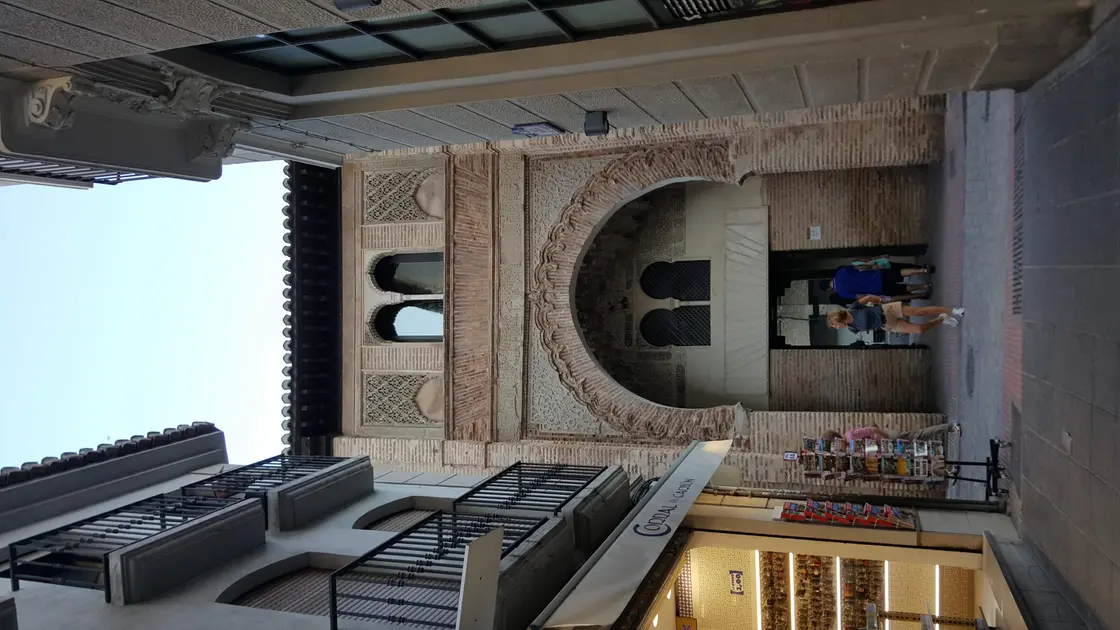
Corral del Carbón
Granada's oldest Arab monument, the Corral del Carbón was built before 1336 as a Nasrid merchant inn, entered through an ornate horseshoe-arch portal.
Not every medieval building in the area had the same fate. The Corral del Carbón was declared a National Monument in 1887, saved "miraculously" from profiteering when it was a house of 36 families.[14]
Who paid: evictions, the Albaicín and a loss-making scheme
The promoters did not hide who would profit. The project report itself noted that landlords would gain, because 500 families would have to look for new housing.[15] The scheme was sold as a cure for slums, but it began by creating homeless tenants.
Those tenants went to equally old houses, and the Albaicín, the main recipient of the evicted, ended up more saturated and unhealthy than before.[16] A project justified by hygiene made the city's worst-housed hill worse. It is the sharpest irony in the whole story.
A reviewer of Martínez Ramos describes a speculative background similar to that of the Paris boulevards, although the operation finally ran at a loss for its promoters.[17] The poor lost their homes, and the investors did not even get rich from it.
A street built slowly, and what to look for on it today
The demolition was fast and the rebuilding slow. The first building on the new street was the church of the Sagrado Corazón, in 1898.[20] Only fifteen houses went up between 1898 and 1905,[21] and the avenue's fifty-two buildings went up between 1898 and 1934.[22] The street filled in slowly.
The avenue then lost much of its own architecture. Between 1970 and 1973, seven of ten buildings considered historical were demolished.[23] The street that erased an old quarter ended up erasing its own first-generation buildings too.
Deep dive · Article
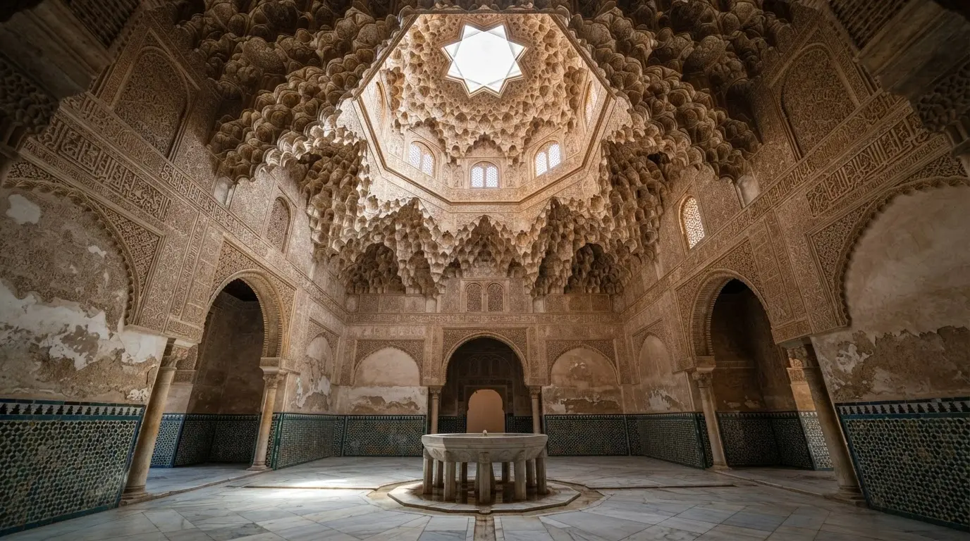
Abencerrajes of Granada: the noble clan behind the legend
Abencerrajes of Granada: the noble clan who shaped Nasrid court politics for a century and became legend through a massacre story set in the Alhambra.
To see it, start at the Méndez Núñez end and walk toward the Triunfo; it is about 820 metres.[8] Do not expect a ruin or a plaque. The stop worth making is the Alcaicería, whose eastern part fell, decades after the 1843 fire, to a realignment of streets; the source does not name the Gran Vía.[24] Then add the Corral del Carbón, a few minutes away.